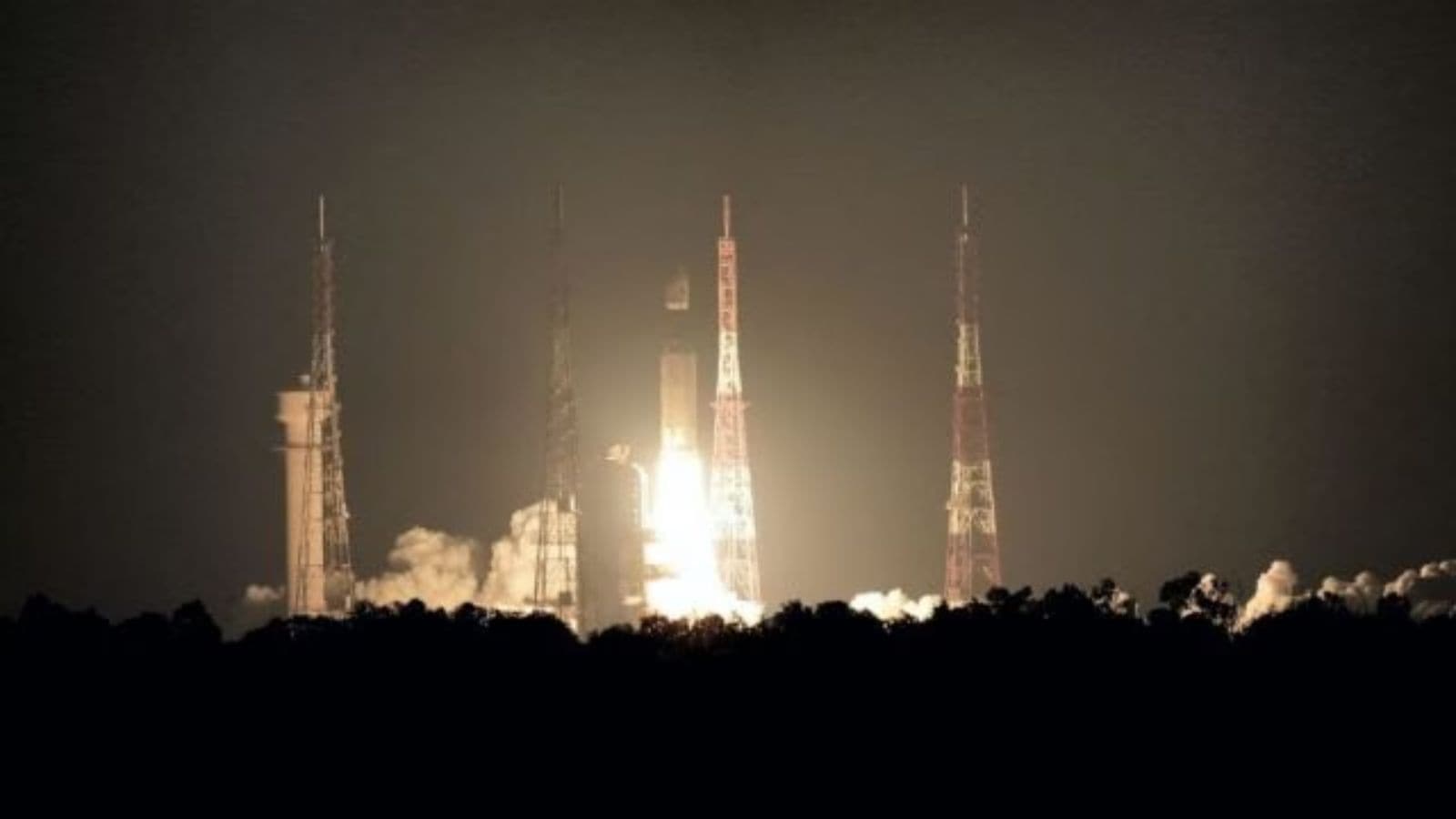
Nisar’s much-awaited launch-NASA and an Earth observation satellite jointly developed by ISRO-Sriharikota, on July 30 at 5:40 pm, is going to be from the country’s only spaceport in Sriharikota, Andhra Pradesh. The satellite will be launched at GSLV-F16 and placed in a 734 km sun synchronized orbit-a class in which the satellite reaches one place each day at the same time.
The satellite will scan the entire globe every 12 days, which will prove a series of very wide images of the Earth’s surface.
Nisar, who stands for the NASA-Isro synthetic aperture radar, will provide an unprecedented view of the planet. This will be the first satellite weighing 2,392 kg that will be the first satellite inspecting the Earth in two frequencies-L-Band of Nasa and S-Band of ISRO. According to NASA, “The signal of each system is sensitive to various sizes on the surface of the Earth, and each specializes in measuring different characteristics, such as moisture content, surface roughness and speed, according to NASA.
Putting two radar systems on the same satellite is a unique engineering achievement because two systems require separate sets of hardware, and yet have to work in a complement fashion without interfering with each other.
This would mean that the satellite will be able to provide very high-resolution data in all types of weather, and during both day and night. The satellite is powerful enough to catch small changes as a centimeter in size during its repeated comments in the same area.

Therefore it will be able to study the dynamic processes on the surface of the Earth, such as the return of glaciers, sea ice speed, a storm route, a change in vegetation and forest cover, and even agitations during earthquakes and volcanoes. Scientists hope that this satellite will provide a new insight into our understanding of climate change or natural threats and will prepare better for them.
It can also help to monitor practical applications such as changes in soil moisture or surface water level mapping.
The story continues below this advertisement
The cost of about 1.5 billion USD, it is the most expensive Earth observation satellite in the world, with ISRO contributed to Rs 469.4 crore for the satellite. The Indian Space Agency will also promote cost in launching the satellite. The space agency said, “Nisar launch is the result of strong technical cooperation between ISRO and NASA/JPL technical teams for more than a decade.”
The launch of The Satellite has been delayed with several delays, with the launch launched after technical issues last year. One of the major components of the satellite needed to be cured-a 12-meter unavoidable antenna. The satellite was sent back to the United States.

Investigation (T) Satellite Technology (T) Redar System (T) L-Band (T) S-Band (T) Glacier Retreat (T) Marine Ice Movement (T) Hurricane Tracking (T) Botanical Monitoring (T) Botantily Monitoring (T) Earthquake Monitoring (T)